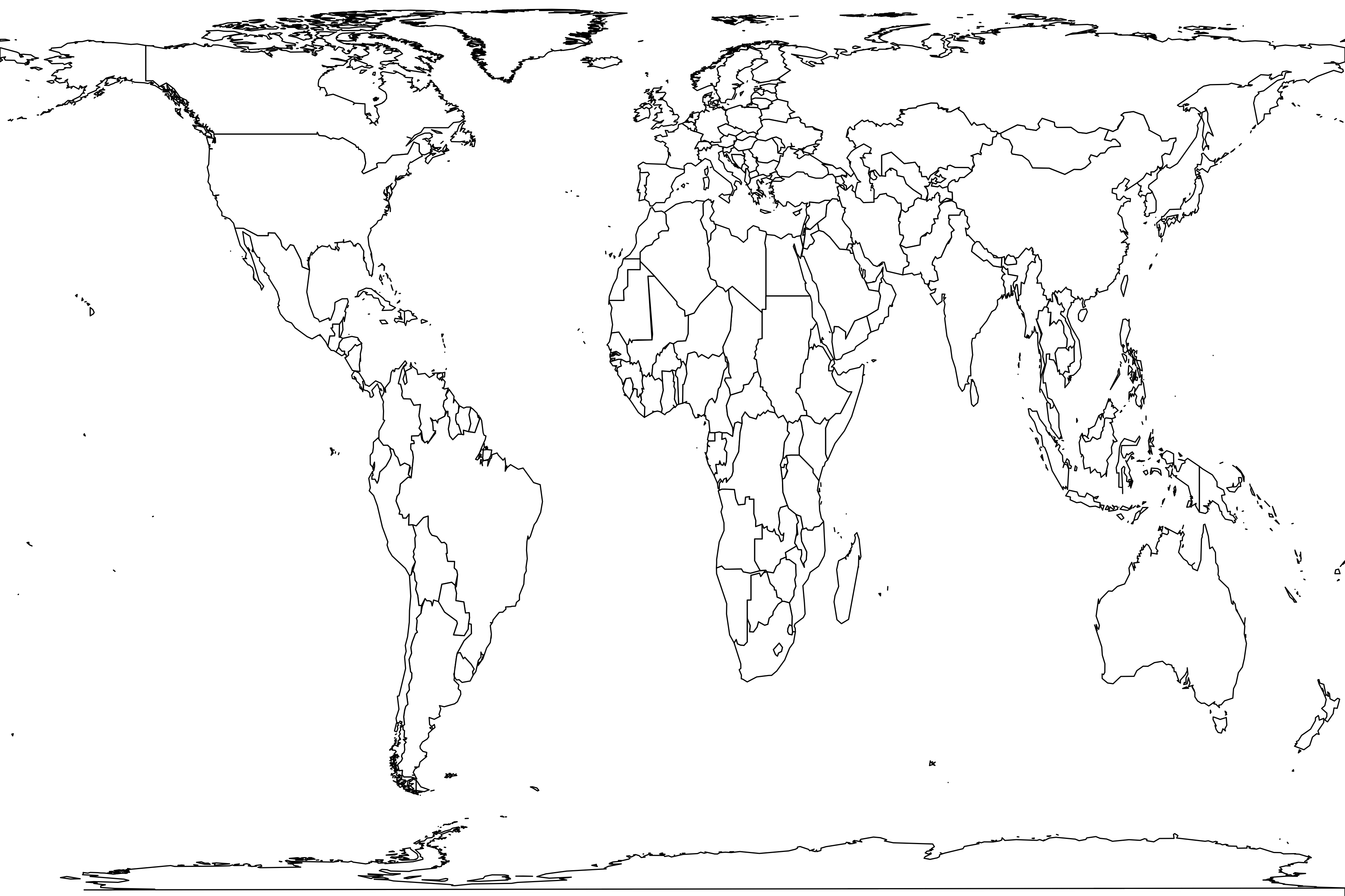
Abundance: 0.05 to 45.89% (median 0.86%)
Latitudinal range: 30.3° to 50.0°Habitats: (28), temperate broadleaf/mixed forest (15), temperate coniferous forest (1)
Found in 44 samples
Canada: Gogama, Kinmount, Birds Hill (Plot 1, 1979), Prince Edward Island National Park, Keffer (Midden 57, screened) (Holocene), Keffer (Midden 57, floated) (Holocene), Irving-Johnston (Holocene), Caverne de la Mine (lower infill) (Holocene), Caverne de la Mine (upper infill) (Holocene)
United States: Oak Ridge Reservation (hardwood forest), Fort Necessity National Battlefield, Gingercake Creek, Memphis, Glenn Dale, MacIntyre Development (forest habitats), Salt Pond Mountain, Fayette County, Raleigh-Durham, North of the Michigamme Reservoir, The Wilds, Harrodsburg Crevice (Late Pleistocene), Ripplemead (Late Pleistocene), Bat Cave (Late Pleistocene), Bluegrass (macro) (Holocene), Dust Cave (Zones T and U) (Holocene), Croley-Evans (Holocene), Mykut Rockshelter (Holocene), Hobson Site (Holocene), Itasca Bison Site (Holocene), Pine Hill (Holocene), Cole Gravel Pit (Holocene), Scovill (Holocene), Prairie Creek (Zone D) (Late Pleistocene), Robinson Cave (Late Pleistocene), Meyer Cave (Holocene), Bootlegger Sink (Pleistocene - Holocene), Sunshine Locality (Unit A) (Holocene), Schulze Cave (layer C1) (Late Pleistocene), Schulze Cave (layer C2) (Late Pleistocene), New Paris Sinkhole No. 4 (Late Pleistocene), Natural Chimneys (Late Pleistocene), Smithsonian Conservation Biology Institute (logs, feature), Granite Cave (Holocene), Cumberland Cave (Middle Pleistocene)
See also Tamias sp., Tamias striatus


